FORESTS
have a massive impact on our lives.
Today, 3D digitisation of forests can revolutionize forest management by providing a comprehensive understanding of forest ecosystems. This technology enables the creation of high-resolution 3D models that can be used to accurately map forests, identify changes in vegetation patterns, monitor the health of trees, and assess the impact of environmental factors. These models can also simulate future scenarios to predict the growth and development of forests under various conditions. This information is crucial for forest managers to make informed decisions and take action to protect and sustainably manage forests.
3D digitisation of forests can help preserve these vital ecosystems for generations to come.

How it works

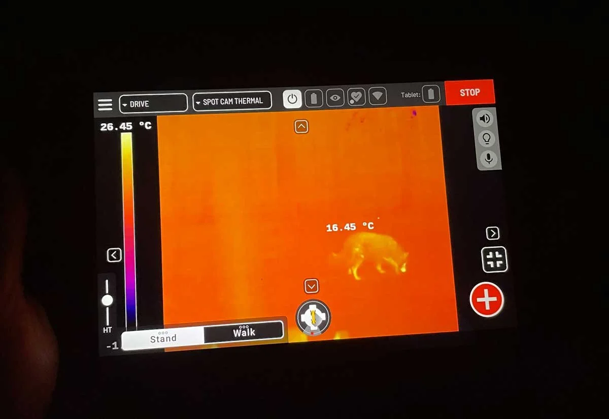
Our scanning technology (here our great robot dog) follows a specific path through the forest to capture exhaustive, precise and quantifiable information of all plants in the forest.
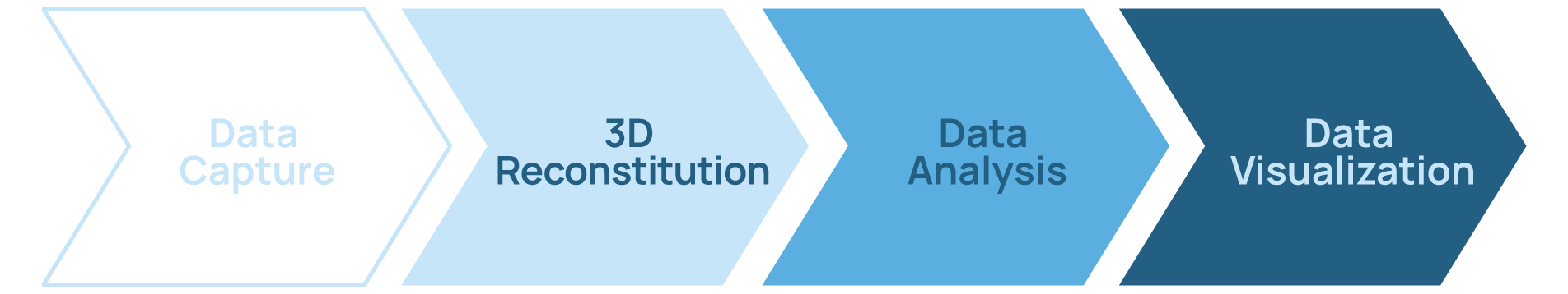
Data Capture
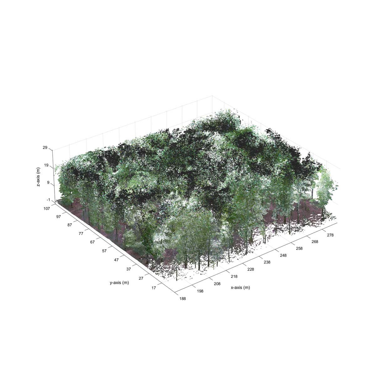
All scanned data is assembled to create a 3D visual environment as an accurate replica of the actual forest.
3D Reconstitution
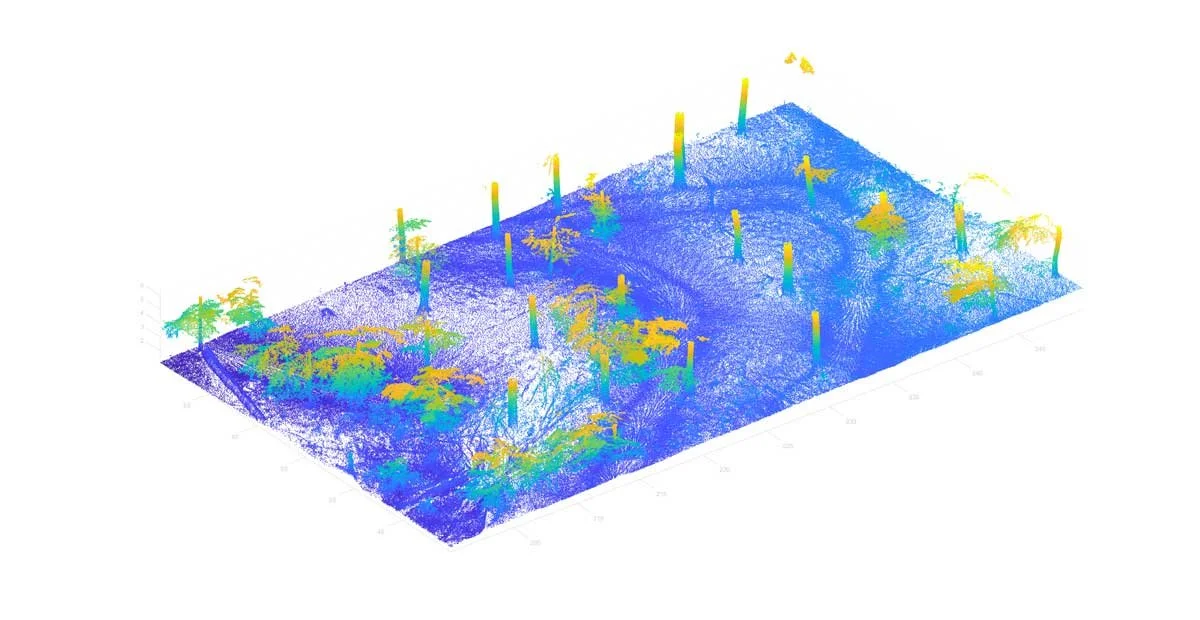
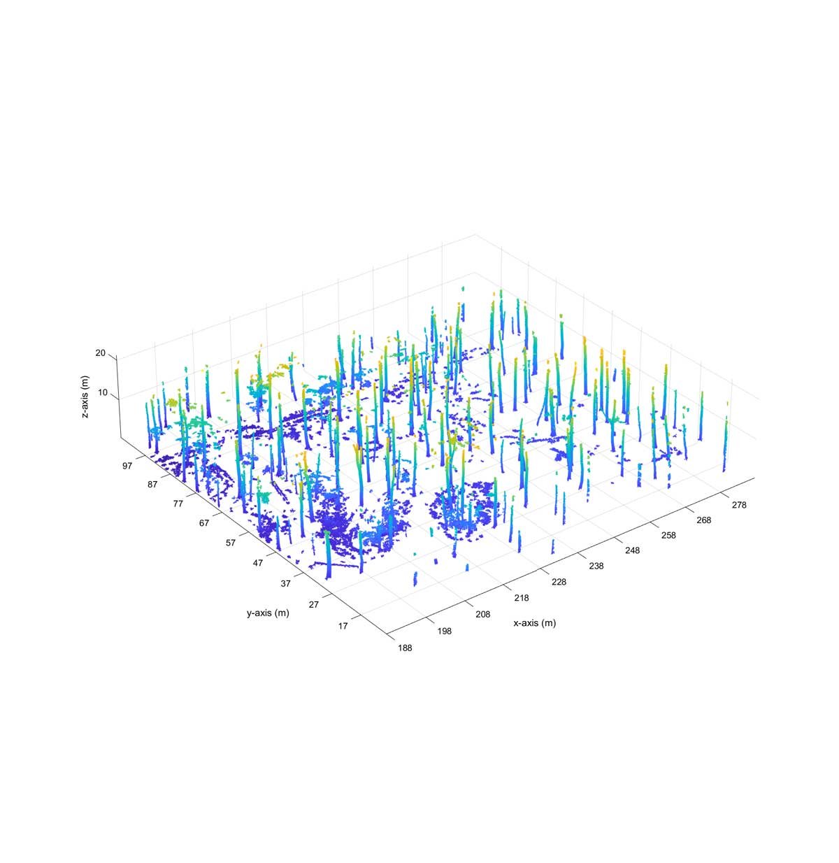
Our proprietary technology allows us to develop a specific analysis bringing precise and useful information on the forest's condition. Concretely, we can scan an hectare of forest in 12 min and give you all kind of information allowing you to:
measure the distance between trees;
determine the height of trees;
their diameter at all levels;
determine their volumes;
determine the density of trees in the woods;
automatically determine the species of trees, if it is an oak, a beech, a pine (or any other kinds of exotic species);
visualize the crown of a tree or the forest cover in general;
take high resolution pictures, any measurement; specific analysis, etc.
Data Analysis
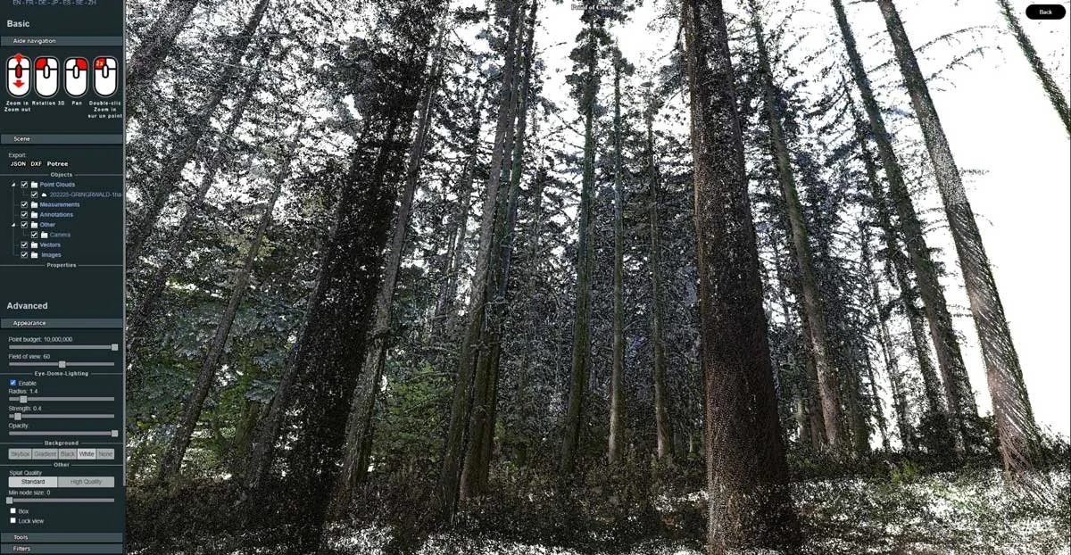
Our platform allows the experts to navigate in the 4D twin and even go back in time to analyse differences through different data capture periods.
Data Visualization
CONTACT US
forest@spacetime.lu