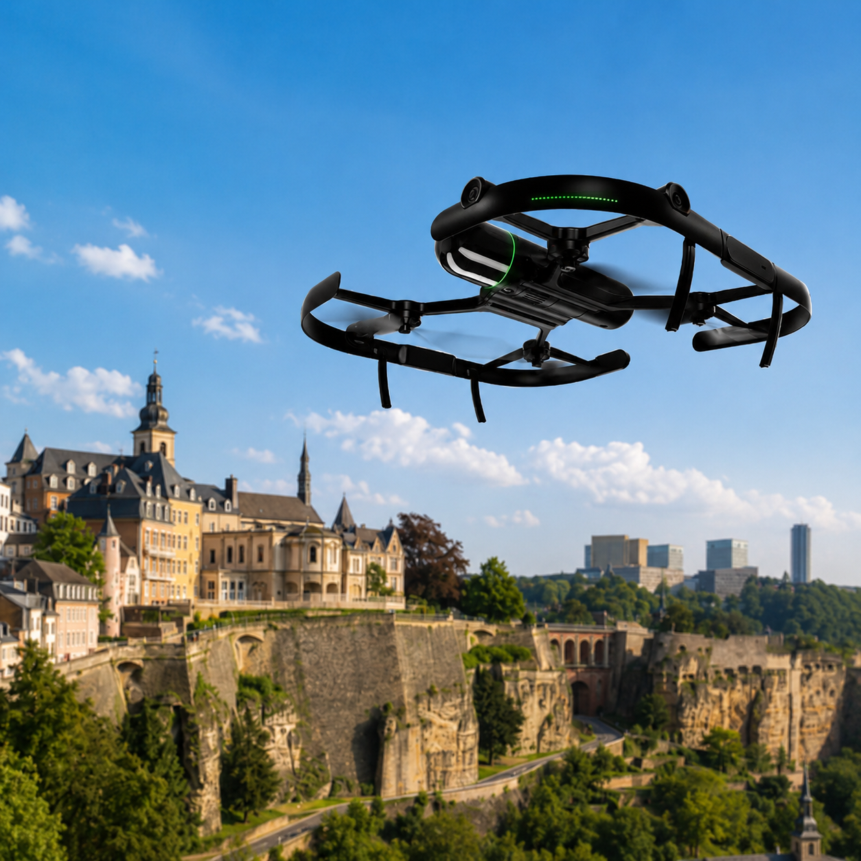
DRONES
Drone solutions for mapping, inspection , mines, construction and complex environments
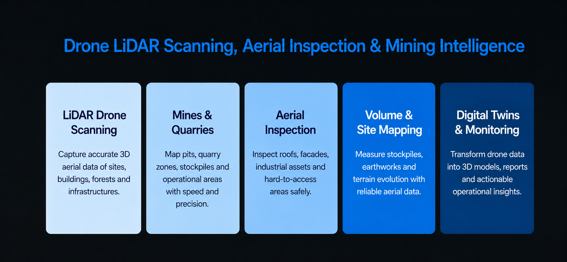
SPACE TIME deploys professional drones equipped with LiDAR, cameras and sensors to capture accurate aerial data in complex and hard-to-access environments.
Our drones can scan mines, quarries, construction sites, industrial areas, forests, infrastructures, buildings and large outdoor zones with speed, precision and safety.
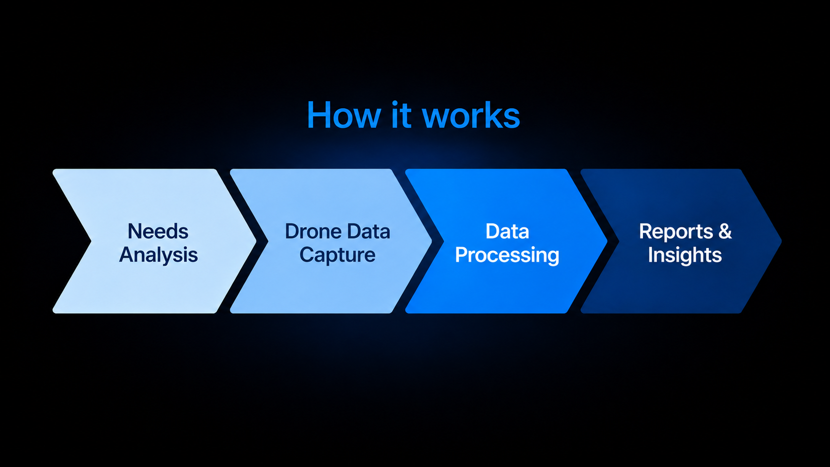
By combining drone LiDAR, photogrammetry, AI analysis and digital twins, we transform aerial data into 3D models, maps, reports and actionable insights for monitoring, inspection, inventory, risk detection and decision-making.